Field notes: the monsoon season that taught us more than the annual audit did
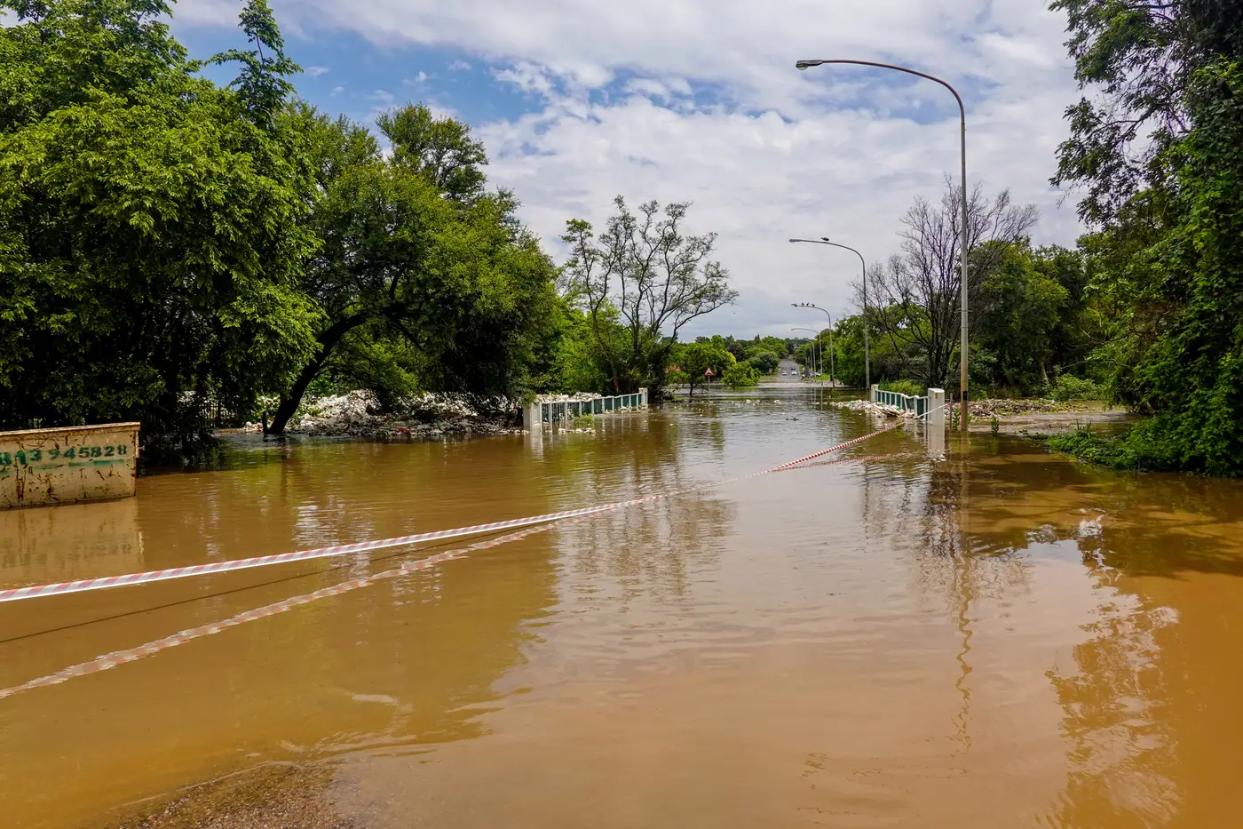
The annual audit had passed, again, three years running. Every tier-one connector supplier on the list had current ISO paperwork, a signed business continuity plan, financials that cleared the threshold. Nothing on the spreadsheet said anything was wrong. Then the rain came in heavier than the ten-year average for the second October in a row, and four of those tier-one suppliers went quiet within six days of each other.
They weren't the same company. They weren't even the same tier. But they were on the same drainage basin, about forty minutes apart by road, all three sitting below the flood line of a river that had broken its banks twice in the last decade. One audit had flagged "flood risk" for exactly one of them, the one whose own disclosure mentioned it. The other three never mentioned it, because the question on the audit form was about their own facility, not about what else sat on the same stretch of low ground.
That's the gap. An audit checks the vendor. It asks the vendor to self-report its own risks, its own certifications, its own continuity arrangements, and mostly the vendor answers honestly. What it doesn't ask, because it's not really the audit's job to ask, is where that vendor's factory sits relative to every other vendor's factory.
Nobody fills in "and by the way, the industrial estate next door floods every monsoon and half of our neighbors supply you too." Why would they know that. Procurement doesn't usually know it either, not until the water's already up.
What the ground looked like
Pull up the satellite imagery from that stretch of coast before and during the flood and the pattern is obvious in a way the vendor list never was. One long industrial corridor, built out over fifteen years as the province expanded its export zone, with new plants added every couple of years by whoever needed cheap land near the port. Different company names on the gates. Same floodplain under the floor slabs. From the road you'd never clock it. From above, it's just one low shelf of land with a river on one side and a dozen roofs on it, and about a third of a category's annual spend sitting on that shelf without anyone having drawn it that way.
The spend data knew this, in theory. Somewhere in the ERP system was a cost center for each of those four suppliers and a country field that said "Thailand" for all of them, which told nobody anything useful because half the category's supply base says "Thailand" and most of it isn't within a hundred kilometers of this particular river. Country-level diversification numbers looked fine. Region-level numbers, if anyone had drawn the region that way, would have said something very different.
The lesson that stuck
A compliance audit answers "is this supplier sound." A different question, one that doesn't fit neatly on an audit form, is "if this piece of ground goes under, how much of my category goes with it." That second question is about geography. Answering it means laying the vendor list over a map and looking at where the dots cluster. We'd been running the first question well for years. We hadn't been running the second one at all.
The following year we started doing a version of that exercise once a year, plotting the category's suppliers against actual terrain rather than against a list of addresses, which is roughly what Sourcing Concentration is built to do on a standing basis: a yearly pass at where spend physically sits, so the next industrial park on a floodplain gets flagged before the monsoon finds it for you.
If an annual audit has been telling you your category is diversified and you've never actually looked at the ground it sits on, it might be worth a look before the next season settles the question for you.